Rome Ciampino Airport (CIA)
Orientation and Maps
(Rome, Italy)
One of the most incredible cities in the whole world, Rome is the heart of the action in Italy. Known locally as 'Roma', the city of Rome is the country's capital and boasts two airports and some of the most historic and spectacular remains imaginable, together with plenty of sunshine all through the year.
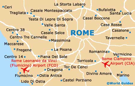
To the south of the city, Ciampino Airport (CIA) is the smallest of Rome's two airports and is close to main ring road, being connected by regular buses, shuttles and trains. Within the city of Rome, the ATAC bus network is both cheap and reliable, whilst the four trams and metro system mean that it is easy to get around. However, the very centre is eminently walkable and as with many historic cities, the roads of Rome were not designed for heavy traffic.
Rome Ciampino Airport (CIA) Maps: Important City Districts
Rome's main tourist information booth is located on the Via Parigi and is just a short walk from the Termini train station. Numerous additional tourist information kiosks can be found around the city, open daily from 09:00 to 18:00. The River Tiber runs along the western side of Rome and is bordered by a number of prominent roads, which include the Lungotevere dei Tebaldi and the Lungotevere della Farnesnina.
For those planning to use Rome's public transport, it is worth purchasing a day pass (Biglietto Integrato Giornalerio), which is valid on all of the city's transport. Seven day passes are also available and extremely convenient.
The main sights around Rome radiate from the city centre and include the Roman Forum and Colosseum (Coliseum) - close to Esquiline Hill, the Circo Massimo (Circus Maximus) - slightly south, and both the Pantheon and the Vittorio Emanuele Monument to the north.
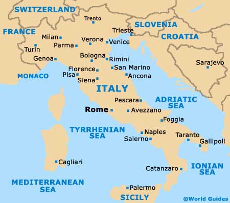
Italy Map

Rome Map


